
North Headlands
Wind-exposed granite points with early lantern stations; surviving towers here are noted for thick masonry and narrow service stairs.
Preserved Towers Map
Use the regional markers to orient your reading: each cluster reflects preserved towers, shoreline character, and keeper-era context along the coast.
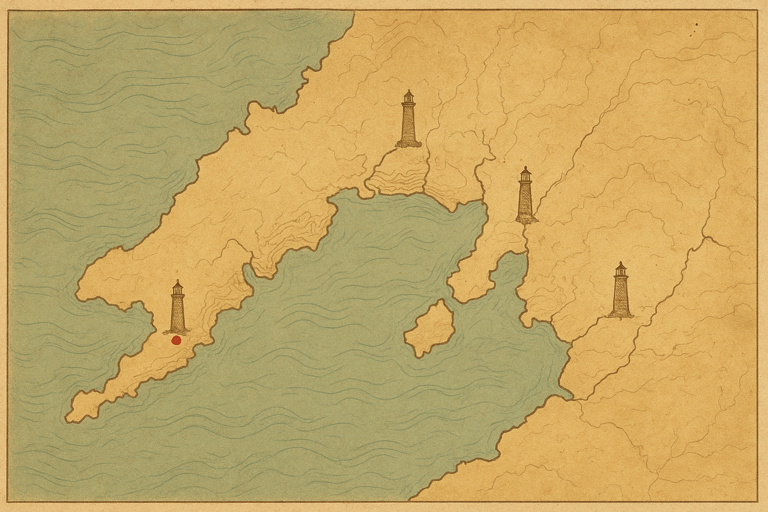
Wind-exposed granite points with early lantern stations; surviving towers here are noted for thick masonry and narrow service stairs.
Long reef edges and fog-prone channels define this belt, where keepers recorded frequent signal maintenance during winter passages.
Estuary inlets and working harbor lights overlap in this central stretch, linking merchant routes to nearby keeper residences.
Steep coastal walls and isolated promontories host later-period towers, many preserved through local heritage trusts and volunteer surveys.